


Sutton offers hikers a surprisingly diverse network of trails that blend New England woodlands, scenic ridgelines, and accessible terrain perfect for both quick afternoon outings and full-day adventures. Whether you’re exploring the steep climbs and panoramic views at Purgatory Chasm State Reservation or the gentle lakeside paths of Sutton Falls, this quiet Massachusetts town delivers trails that punch well above their weight in beauty and variety. Most routes sit within a 30-minute drive of Worcester, making Sutton an ideal basecamp for hikers seeking less crowded alternatives to the Berkshires without sacrificing quality scenery or trail conditions.
The trails here reward preparation. While most paths are well-marked and maintained by local conservation groups, several feature rocky sections and elevation changes that demand proper footwear and basic navigation skills. This guide breaks down Sutton’s top hiking options with trail-specific details, logistics you need before heading out, and gear recommendations tailored to the terrain you’ll actually encounter. You’ll find practical route descriptions that go beyond generic overviews, along with local insights on parking, seasonal challenges, and the quirks that make each trail worth your time.
Why Sutton Is Worth the Hike

Sutton’s hiking landscape delivers a compelling mix of accessible trails and genuine backcountry character that’s increasingly rare in heavily-trafficked regions. The terrain here shifts between open meadows, hardwood forests, and rocky ridgelines, often within a single outing, giving hikers varied scenery without the monotony of single-ecosystem trails found elsewhere nearby.
What makes Sutton particularly valuable is its range. Beginners find well-maintained paths with manageable elevation changes and clear waymarking, while experienced hikers can tackle steeper ascents and more technical sections that demand route-finding skills. This breadth means families, solo adventurers, and conditioning hikers all find worthwhile options without traveling to separate destinations.
The natural features stand out: glacial erratics dot higher elevations, seasonal waterfalls appear after spring snowmelt and autumn rains, and overlook points provide sightlines across forested valleys rather than just tree-tunnel views. Wildlife sightings are common but not intrusive, deer, wild turkeys, and various bird species populate the area, with occasional black bear signs reminding hikers they’re in genuine habitat, not a manicured park.
Seasonally, Sutton transforms. Spring brings wildflower displays and rushing streams but muddy conditions on lower trails. Summer offers full canopy shade and extended daylight but higher humidity. Fall is peak season, foliage, cooler temperatures, and firm trail surfaces align perfectly. Winter opens opportunities for snowshoeing and solitude, though ice on exposed sections requires traction devices.
Unlike overcrowded regional hotspots where parking fills by 8 a.m. and trail congestion diminishes the experience, Sutton maintains a quieter profile. You’ll encounter other hikers, but the pace stays relaxed and the trailheads manageable, even on beautiful autumn weekends.
Top Hiking Trails and Areas in Sutton
1.
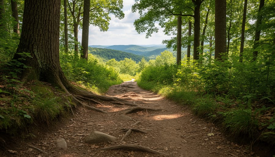
Purgatory Trail loops through one of Sutton’s most dramatic landscapes, offering 1.5 miles of moderate hiking with approximately 250 feet of elevation gain. This isn’t your typical woodland walk, the trail descends into a quarter-mile chasm carved by glacial meltwater, with walls towering 70 feet overhead in places.
The difficulty sits comfortably at moderate, though several sections require scrambling over boulders and navigating narrow passages between rock walls. Families with older children handle it well, but the uneven footing and occasional hand-over-hand climbing make it unsuitable for very young kids or those with mobility limitations.
The scenery shifts dramatically as you progress. You’ll start on forested paths before dropping into the chasm itself, where moss-covered granite walls create an almost cathedral-like atmosphere. Fat Man’s Misery, a tight squeeze between massive boulders, marks the trail’s most memorable feature. The loop continues through mixed hardwood forest, offering several overlook points where you can appreciate the geological forces that shaped this landscape.
Spring through early fall provides the best hiking windows. Morning visits in summer help you avoid both crowds and heat, as the chasm stays cooler than surrounding areas but can feel humid in afternoon sun. Winter hiking becomes treacherous when ice forms on the rocks.
Footwear matters here. The constant rock scrambling demands sticky rubber soles with ankle support, trail runners work for experienced hikers, but most visitors fare better in hiking boots. Bring gloves if you’re cautious about handholds on lichen-covered surfaces.
2.
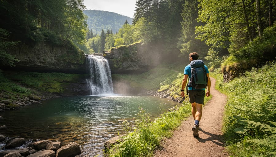
The Sutton State Forest Loop delivers a 4.2-mile moderate circuit that showcases the area’s classic mixed hardwood canopy and rolling terrain. Starting from the main parking area on Boston Road, the trail gains roughly 450 feet elevation over gradual inclines that rarely feel punishing, making it accessible to hikers transitioning from beginner to intermediate skill levels.
What distinguishes this route is its variety within a compact distance. The first mile winds through dense forest where the understory stays relatively clear, allowing views of granite outcroppings typical of New England’s glacial history. Around mile 2, the trail opens onto a ridgeline section offering filtered views across the valley, not dramatic overlooks, but enough visual payoff to justify a water break. The descent follows a wider, rockier path where ankle support becomes more valuable; mid-cut hiking boots handle this section better than low-tops or trail runners.
Technical requirements remain modest: no scrambling or exposed sections, though fallen logs and root systems demand attention in the shadier stretches. The loop runs counterclockwise by convention, which puts the steeper climb behind you early. Families with older kids manage this trail comfortably, and it serves well as a conditioning hike before tackling longer routes. Trail markers appear consistently at junctions, though carrying a downloaded map prevents wrong turns where side paths branch toward private property boundaries.
3.
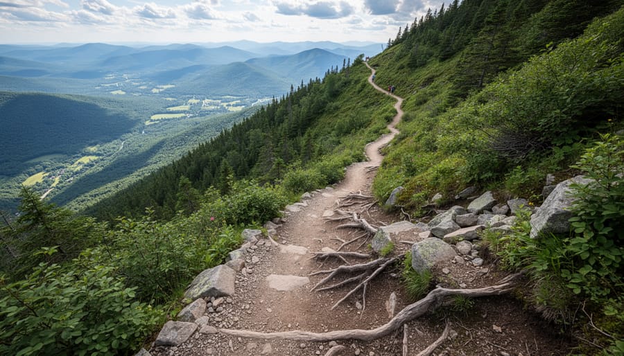
Poutney’s Pond Loop delivers a moderate 3.2-mile circuit that showcases Sutton’s wetland ecosystems alongside forested ridge walking. The trail climbs 340 feet over rolling terrain, with the bulk of elevation gain concentrated in the first mile as you ascend from the pond’s edge to the ridgeline overlook.
What distinguishes this route is the dramatic habitat shift. You’ll start along boardwalks skirting the pond’s marshy shoreline, prime territory for spotting great blue herons and painted turtles, before transitioning into mixed hardwood forest with periodic granite outcroppings. The midpoint ridge section offers filtered views across the pond basin, particularly striking when fall colors peak in mid-October.
Terrain varies from packed dirt to exposed roots on the steeper sections near the ridgeline. Ankle support becomes valuable here, especially after rain when mud collects on the northern descent. The loop’s clockwise direction handles the technical portions on the climb rather than descent, reducing slip risk on wet days.
Spring hikers should expect saturated conditions through late May when snowmelt keeps the lowland sections soggy. Waterproof footwear isn’t optional during this window. The boardwalk segments prevent most mud exposure, but the forest floor stays damp longer. Summer brings biting insects near the water, so bug repellent earns its pack weight. Winter transforms the pond into a stark, quiet landscape, though ice stability makes the boardwalks potentially treacherous without traction devices.
4.
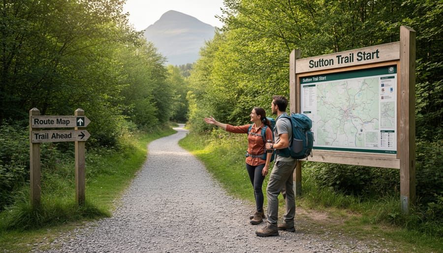
Purgatory Falls Trail delivers a rewarding 1.2-mile out-and-back route that centers on one of Sutton’s most photogenic features: a dramatic cascading waterfall that drops roughly 50 feet over granite ledges. The trail gains approximately 150 feet in elevation, making it accessible to families with older children and hikers seeking a shorter outing with significant visual payoff.
What distinguishes this trail is its dual-season appeal. Spring runoff transforms the falls into a thundering spectacle, while autumn frames the cascade with vibrant foliage that reflects in the pools below. The path follows Purgatory Brook through mixed hardwood forest, crossing the stream twice via sturdy wooden footbridges before reaching the main viewing area at the falls’ base.
The terrain combines packed dirt with occasional rocky sections that become slippery when wet. Lightweight hiking boots with good tread outperform trail runners here, especially after rain. A trekking pole provides valuable stability on the steeper approach near the falls, where exposed roots cross the path at irregular intervals.
The trailhead offers a small gravel parking area that accommodates roughly eight vehicles, arrive before 9 AM on weekends during peak season to secure a spot. Basic facilities include a kiosk with trail maps but no restrooms. The lot sits directly off Purgatory Road with clear signage, though cell service remains spotty throughout the area. Budget 90 minutes for the round trip, including time to photograph the falls and explore the upper viewing platforms accessed via a short spur trail.
5.

Purgatory Falls Loop closes out the top five with a moderate 2.8-mile circuit that rewards hikers with Sutton’s most dramatic water feature, a 50-foot cascade tumbling through granite ledges. The elevation gain sits around 400 feet, concentrated in two short, steep pitches near the falls overlook and again on the return ascent through mixed hardwood forest.
Start at the Lower Falls trailhead off Purgatory Road where parking accommodates roughly 15 vehicles. The route follows Purgatory Brook upstream for the first mile on relatively flat, well-maintained trail before climbing switchbacks to the upper viewing platform. This vantage point puts you at eye level with the falls’ midpoint, bring a polarizing filter if you’re shooting photos, as mist creates glare in afternoon light.
The loop’s second half traverses ridge terrain with partial views southeast toward Mount Watatic before descending through hemlock groves back to the trailhead. Rocks near the falls stay slippery year-round from constant spray, so aggressive tread patterns make a difference, vibram soles with deep lugs outperform shallow athletic shoe treads significantly here.
Spring runoff (April through early June) produces the most impressive water volume, though trail conditions can be muddy. Late summer often reduces the falls to a trickle. The upper platform area gets crowded on weekends; arriving before 9 AM or after 4 PM typically guarantees solitude. No facilities exist at this trailhead, so plan accordingly.
Essential Gear for Sutton’s Terrain
Sutton’s trails present a mix of rocky sections, rooty woodland paths, and occasionally muddy stretches, especially after rain or during spring thaw. Your footwear needs to handle that variability. Mid-cut hiking boots with aggressive tread patterns work best here, offering ankle support on uneven ground while maintaining enough flexibility for moderate grades. Waterproof membranes prove their worth when crossing seasonal streams or navigating wet morning trails. Trail runners can work on drier summer days if you’re experienced with lighter footwear, but the terrain punishes inadequate grip.
Weather in Sutton shifts quickly, particularly in spring and fall. Temperature swings of twenty degrees between morning and afternoon aren’t unusual. A three-layer system handles this effectively: moisture-wicking base layer, insulating mid-layer like fleece or lightweight synthetic, and a packable shell that blocks wind and rain without adding bulk. Avoid cotton entirely, it holds moisture and loses insulating value when damp.
For successful Sutton hiking, pack these essentials:
- Trekking poles, reduce joint stress on descents and provide stability on loose rock
- Navigation app with offline maps, cell service is spotty on several trails
- Two-liter hydration reservoir or dual bottles, limited water sources between trailheads
- Headlamp with fresh batteries, tree cover makes trails dark earlier than expected
- Compact first-aid kit, include blister treatment and athletic tape for foot care
Navigation deserves particular attention here. Some trail junctions lack clear signage, and dense forest canopy can interfere with GPS accuracy. Download detailed maps before you arrive and carry a backup battery pack. Water availability varies by season and trail, so plan to carry what you’ll need for the entire hike rather than counting on streams. Two liters minimum for half-day outings, more in summer heat or for longer routes.
Getting There and Trail Access
Most Sutton trailheads sit within an hour’s drive of major New England cities, making day trips straightforward with early starts. From Boston, expect roughly 60 minutes via I-90 and Route 146. Worcester lies about 20 minutes east, while Providence sits 45 minutes south. Roads leading to trailheads remain paved and well-maintained through most of the year, though early spring can bring lingering frost heaves on secondary access routes.
| Trailhead | Parking Capacity | Fees | Access Notes |
|---|---|---|---|
| Purgatory Chasm State Reservation | 100+ spaces | $5 MA residents, $20 non-residents (seasonal) | Restrooms, year-round access |
| West Sutton Trailhead | 15-20 spaces | Free | Limited facilities, roadside parking |
| Manchaug Pond Access | 25 spaces | Free | Gravel lot, seasonal gate closures |
| Waters Farm Preserve | 12 spaces | Free | Dawn to dusk only |
Winter brings the main access challenge: several smaller trailheads close gates from December through early April when plowing becomes impractical. Purgatory Chasm remains accessible year-round, though ice formations can render trails impassable without traction devices. During mud season (late March through April), parking lots can turn sloppy, and trail surfaces soften considerably. Pack your hiking shoes with aggressive tread for these conditions, along with standard hiking essentials like navigation tools and layers. Summer weekends see the heaviest crowds at popular trailheads, so arriving before 8 a.m. secures parking and cooler temperatures for your hike. Bring day hike foods and plenty of water since trailhead facilities remain limited, and don’t skip sun protection during exposed ridgeline sections.
When to Hike: Seasonal Considerations
Spring arrives in Sutton between late March and May, transforming trails with wildflower blooms and rushing streams. Mud season peaks in April, making rocky sections slippery and low-lying areas soggy, waterproof boots with aggressive tread perform best. Trails see moderate traffic, and temperatures range from 40°F to 65°F. Pack layers, as conditions shift quickly.
Summer (June through August) offers the most predictable weather, with highs between 75°F and 85°F. Trails reach peak crowds on weekends, especially July through early August. Start early to beat afternoon thunderstorms, which develop suddenly. Stream crossings run lower, and exposed sections get hot, bring extra water and sun protection. Insects, particularly blackflies in June, can be intense on forested trails.
Fall (September through November) delivers Sutton’s finest hiking. Foliage peaks in early October, drawing larger crowds to scenic overlooks. Temperatures drop from 70°F in September to 40°F by late November. Trails dry out, making technical sections more manageable. Layered clothing works best as mornings start crisp and afternoons warm up. Shorter daylight hours mean planning for earlier finishes.
Winter transforms the experience entirely. Snow typically arrives by December and persists through March, requiring microspikes or snowshoes depending on accumulation. Several trails close seasonally due to hazardous conditions or access road maintenance, check current status before heading out. Experienced cold-weather hikers find solitude and stark beauty, but beginners should wait for milder seasons.
Local Tips and Trail Etiquette
Most Sutton trails don’t require permits for day hiking, but you’ll want to arrive early on weekends, trailhead parking fills by mid-morning during peak fall foliage and summer months. Local hikers recommend starting by 7 a.m. for popular routes to secure parking and enjoy trails before they get crowded.
Water sources along Sutton trails are generally unreliable, especially in late summer. Even when streams and springs appear active, treat all water before drinking or carry your full supply from the trailhead. Most experienced locals pack at least two liters per person for half-day hikes, more in warm weather.
Trail conditions can shift dramatically after heavy rain. The area’s clay-based soil becomes slick and muddy, making steep sections treacherous and causing significant erosion when hiked wet. If trails are saturated, consider postponing your hike or choosing a ridge route with better drainage rather than valley trails.
For photography, early morning light hits east-facing overlooks beautifully, while sunset shots work best from western viewpoints. The weeks surrounding peak foliage (typically early to mid-October) offer the most dramatic scenery, but any season provides worthwhile images if you time the light correctly.
Practice Leave No Trace principles rigorously: pack out everything you bring in, stay on marked trails to prevent erosion, and avoid creating new social trails or shortcuts. Sutton’s trail system depends on volunteer maintenance, so respecting the resource ensures these routes remain accessible and well-preserved for future hikers.
Frequently Asked Questions
Are Sutton’s trails suitable for beginners?
Yes, several trails offer gentle terrain and shorter distances perfect for newcomers. Start with easier routes to build confidence before tackling more challenging options with significant elevation gain.
Can I bring my dog on Sutton hiking trails?
Most trails allow leashed dogs, but always check specific trailhead regulations before heading out. Bring waste bags and keep your dog under control, especially in areas with wildlife.
Is water available along the trails?
Natural water sources exist on some routes, but reliability varies seasonally. Always carry sufficient water and use a filtration system if planning to refill from streams or ponds.
Will I have cell phone service on the trails?
Coverage is spotty to nonexistent on many Sutton trails, particularly in valleys and heavily wooded areas. Download offline maps before you go and inform someone of your hiking plans.
Are overnight camping options available?
Some trails connect to backcountry camping areas requiring permits, while others are day-use only. Check local land management regulations for specific overnight policies and reservation requirements.
How should I prepare physically for Sutton’s more difficult trails?
Build endurance through consistent hiking training that includes hill work and weighted backpack walks. Gradually increase distance and elevation to match your target trail’s demands.
These answers cover the essential planning details most hikers need before visiting Sutton. Local ranger stations and trail websites provide additional specifics on permits, seasonal closures, and current conditions that may affect your trip.
Sutton’s hiking landscape delivers everything outdoor enthusiasts value: varied terrain that challenges without overwhelming, trails that reward effort with memorable scenery, and accessibility that makes planning straightforward. Whether you’re drawn to moderate loops perfect for weekend mornings or longer routes that test endurance, the area accommodates multiple skill levels without compromising quality.
Success on these trails starts with matching your gear to the conditions you’ll encounter. The right footwear handles Sutton’s terrain confidently, proper layers adapt to shifting weather, and reliable navigation tools keep you oriented when trail markers grow sparse. These aren’t optional upgrades, they’re the difference between an enjoyable day and unnecessary struggle.
The trails outlined here represent tested routes worth your time, but they’re starting points rather than limits. Each season brings different advantages, and returning throughout the year reveals new perspectives on familiar paths. Pack thoughtfully, check current conditions before heading out, and give yourself enough daylight to complete your route comfortably. Sutton’s trails are waiting, bring the preparation they deserve, and they’ll deliver experiences that justify the drive and the effort.